Robert Lang, physicist, origami master, and reader, took a trip to Antarctica on a very small boat, and sent a seven-part series of photos, which I’ll put up over time. Here’s batch 1; Robert’s captions and narrative are indented, and you can enlarge the photos by clicking on them. (I suggest enlargement!)
Antarctica, Part 1: Water, Ice, and Rock
Over the Christmas holidays, I had the opportunity to visit Antarctica, as one of six passengers on a 65-foot ketch-rigged sailboat that spent 14 days traveling along the west side of the Antarctic Peninsula. Our trip began on King George Island, in the South Shetlands, an island chain 60 km off the coast; Elephant Island, where most of Shackleton’s men waited to be rescued, is at the northern end of this chain.
The entire trip was spectacular, with some incredible wildlife sightings, which I will duly share in subsequent installments of this contribution to RWP. But let me start with a few landscapes, just to convey the beauty and harshness of this stunning land.
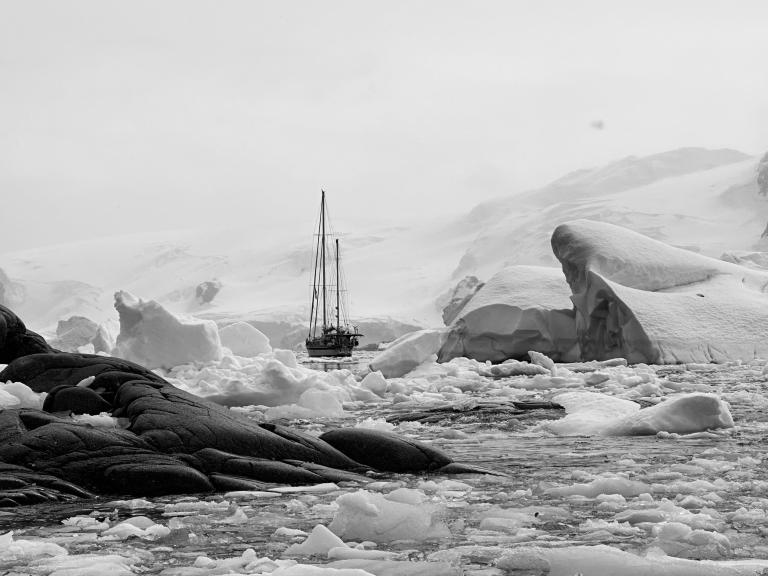
To begin, this is the boat we traveled on, the Ocean Tramp (photo taken on about the 3rd day of the trip). Channeling my inner Frank Hurley, I’ve converted the photo to black-and-white.
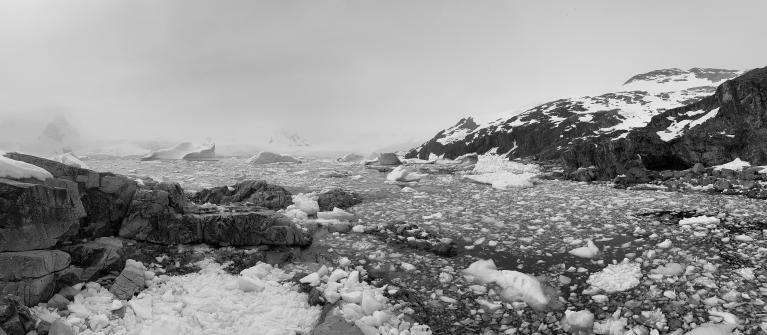
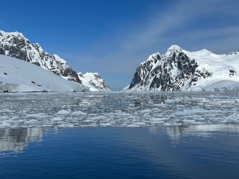
Hurley was the photographer on Shackleton’s Endurance, which met its fate a bit farther south than we reached and was on the other (eastern) side of the Antarctic Peninsula, in the Weddell Sea, which, due to a gyre in the prevailing currents, is covered in sea ice year-round. It being mid-summer for us, we never experienced anything thicker than brash ice (broken-up bits), but they still made for some wonderful vistas.
I had envisioned the Antarctic being all flat, featureless ice plain, but of course that’s on the ice shelves and the main continental plateau. The Antarctic Peninsula is basically an extension of the Andes, and it and its islands are incredibly rugged, with rime-covered peaks, snow-filled couloirs, and ice cliffs that plunge a hundred feet or more straight into the water. Places where one could actually access the shore are few and far between.
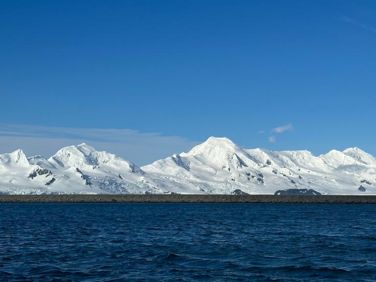
One place where a landing is possible is a cove called Yankee Harbor, on Greenwich Island, still in the South Shetlands. There’s a long gravel spit that extends into the harbor which is home to many penguins and seals (photos to come); the mountains of Livingston Island are in the distance.
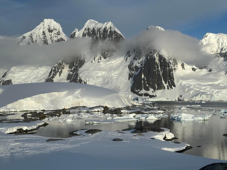
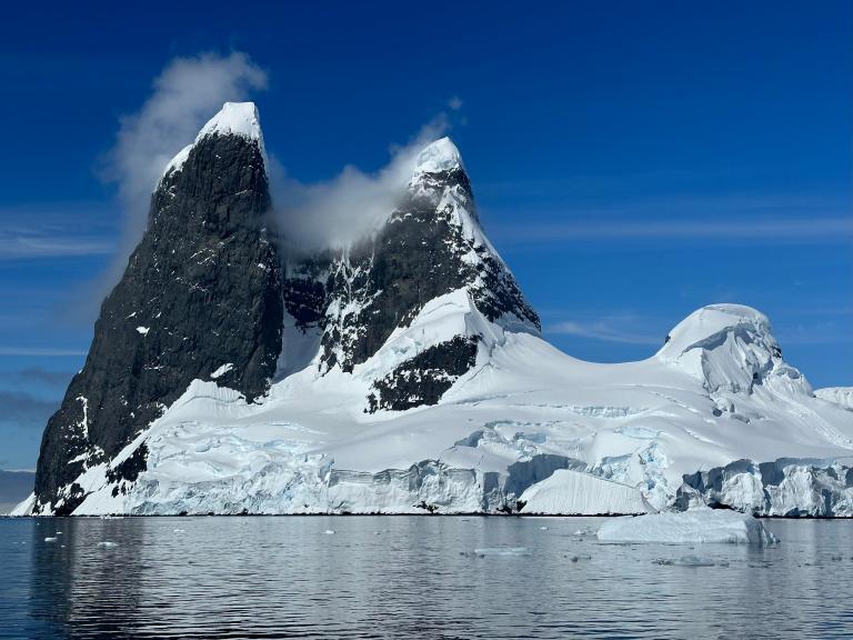
There are many islands along the peninsula, which provide some protection from ocean swells coming from the west; some are low and rounded, others high and jagged. Many of the channels between them are narrow with soaring walls and spires to either side. One of the more famous is the Lemaire Channel, between Booth Island and the mainland, and one of the famous landmarks at the entrance of “The Lemaire” is Una Peaks, also called “Una’s Peaks”, or Una’s (something a bit more anatomical), named for the same reason the Grand Tetons in Wyoming got their name.
Passage through the Lemaire is never guaranteed, depending on the ice conditions. This time it was a calm day and nothing worse than a bit of brash ice to push through.
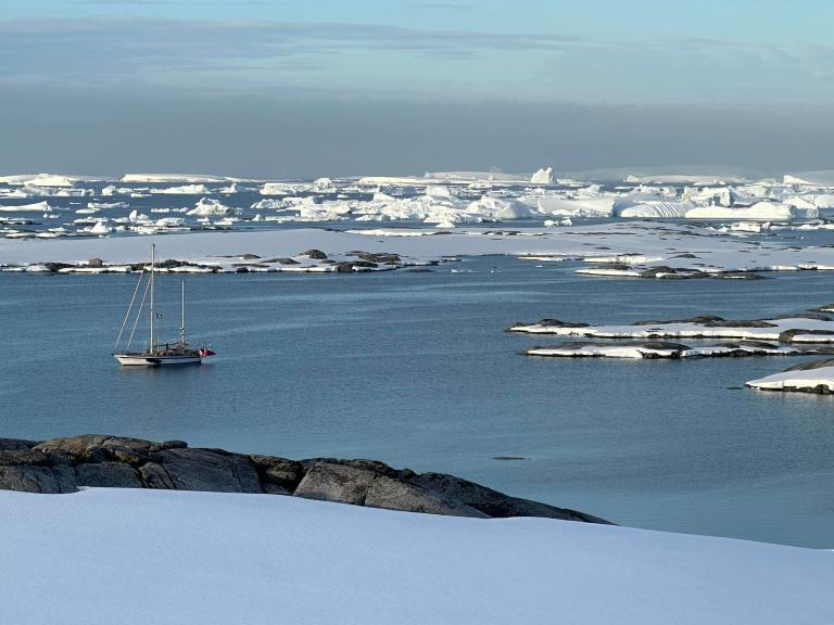
The Argentine Islands are a low archipelago of islands on the western side of the Peninsula. Because they are surrounded by relatively shallow water, the waters to their west collect icebergs that run aground as they drift by, creating some spectacular combinations of sky and water. You can see here the Ocean Tramp, with the “graveyard of icebergs” stretching off into the distance.
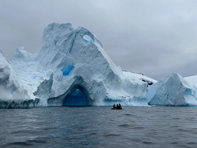
The icebergs provided an endless variety of shapes and shades of white and blue. This one, taken in another iceberg graveyard near the stacks of Spert Island, seemed to call for the name “The Fickle Finger of Fate.”
Scale is hard to ascertain in the Antarctic. To give a sense of the scale of this iceberg, note the zodiac near the cave. We dared not enter the cave or even get too close, as icebergs have a habit of rolling over when one least expects or desires.
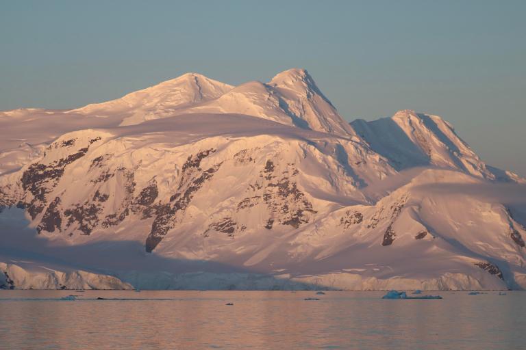
The ice and mountains tended to lie on a monochromatic palette of whites and blues, but it being midsummer, the sun barely set. Sunsets were long and low, which created glorious golds and pinks—if you were up and out at 11:30 pm, and if the weather was clear. The Peninsula is famous for long stretches of dreary overcast, but we had some gorgeous clear days and the occasional clear sunset.
OK, enough with the inanimate matter. Coming next: Penguins!


Looking forward to more of Robert’s commentary and photos. I just got back from 11 days in Antarctica. It’s truly a magical place. Now I don’t have to send you my wildlife photos!
I am curious to know if Robert sailed on the Ocean Tramp across the Drake Passage.
> I am curious to know if Robert sailed on the Ocean Tramp across the Drake Passage.
No, flew both ways between Punta Arenas and King George Island. We still had to cross the Bransfield Strait, though (which separates the South Shetlands from the Peninsula), which got a bit bouncy.
Spectacular! I’m curious how you took the first photo. . . Did you use a drone?
IIRC, the first photo was taken from the shore (reached via Zodiac from the boat).
Thank you, Robert. These are terrific photos. I am really impressed by your small ship…maybe we will see some onboard snaps in a later installment. Maybe it’s the lighting but the Una Peaks appear to be black. Are they basalt? Volcanic in origin?
Indeed, they are basalt: https://en.wikipedia.org/wiki/Una_Peaks
Amazing pictures. Looking forward to more!
Breathtaking – and that’s just on my tiny screen!
OMG, these are some of the most beautiful photos ever! I’m sure your animate ones will be as well!
Fabulous photos– so evocative and chilling!
I am blown away. Some of the most amazing scenery I’ve seen (virtually).
Wow! Great photos and what an adventure!
Gorgeous! Looking forward to more. Thank you!
These are beautiful! Thank you sharing them.
“Spectacular, terrific, breathtaking, amazing, fabulous, gorgeous, beautiful” … I agree with everyone. What a treat!
Gorgeous! Thank you.
Hi Robert, happy to see these nice photos and post and very glad you had a great trip on our little Ocean Tramp 😀